
 10/3-ish: Brrrrr not dry. But alive! Survived! Last night incessant rain, Lightning, thunder, then turned to snow in the morning. Ranger had told me forecast of inches of snow, Mon-Wed @ lower elevation. Wanted to get past all the 10K ft passes before all the snow...Almost turned back to Reds Meadow after the 1st 10K, Duck Pass. hard driving snow, 40 yards of visibility - covered trail with 3 inches of snow starting to worry stress - 10 mi. to Silver Pass - driving snow - driving!! running racing to hit Silver Pass before it's totally covered w/snow at 10,900 feet. More lightning, thunder. Almost lost the trail several times @ Virginia Lake - very deep snow...
 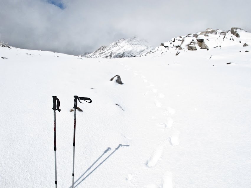 Atop Silver Pass - ...The scaredest I've been hiking - singing 'I will survive' & telling myself I can do it 1700 ft climb to pass but snow so thick at top - round 6" - hard to get up. Feet soaked - now cold.
Sun popped out for a bit going up Silver Pass - Glory! Able to tell South direction from sun. blue sky! (just a bit though)...

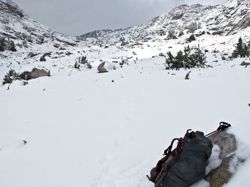 Safely descending on the south side of Silver Pass - ...Has been snowing most of the day. Felt incredible so good to get through Silver Pass. Thought I might die today. Would have been safer to return to Red's Meadow but no food nor restaurant.
 ...I wanna be a Japanese snow monkey chilling in the hot springs. EPIC last day on the trail. Mucho nieve! I was thinking it would be ironic to die in the mtns today on my last day on the trail...Was really beautiful today; occasionally I could see monstrous, looming snow-covered mtns, but was mostly too worried to enjoy the beauty. Trail was hard to follow at times but I think I didn't really ever lose the trail. Was able to follow its indent groove in the snow - faint but there. Now @ intersection of PCT and Edison Lake Ferry, 7.5 mi to VVR & 4 more to Mono Hot Springs. Off the Trail now! (and just in time)
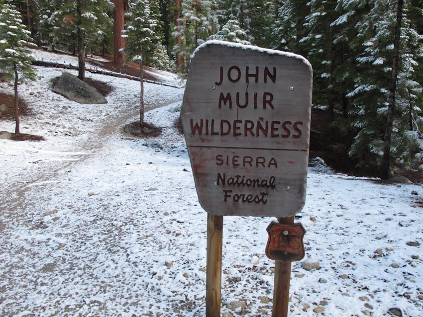 Near John Muir Wilderness trail head by Edison Lake
 Looking west and descending from the Sierras with Marcelo. Headed towards In-N-Out and San Francisco.


