11.13.2014

The Desert Segment: the Mojave and Wind Farms

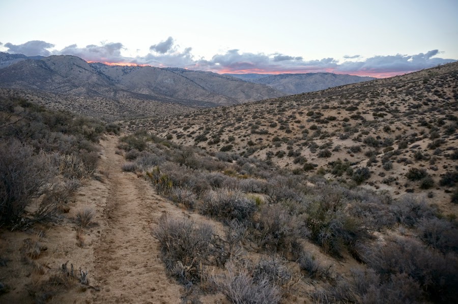
The small mountains south of Highway 58 at dusk


Sleeping not far away from these turbines, intermittently they emit crazy, high-pitched tones.


 After filling up my water from the trickle in Tylerhorse Canyon, I set off across the western arm of the Mojave Desert in the evening...for some handstand self-portraits.


I tried to walk across the Mojave as much as I could at night to avoid the heat.  I slept near the LA aqueduct, which the PCT follows for many miles.  Even in the early morning, the heat was already oppressive.  I heard it was 108 degrees that afternoon.  By the time I arrived at Hikertown, I was ready to get out of the heat. 

Joshua tree at dawn

Chaparral south of Green Valley

11.12.2014

Walker Pass to Tehachapi

Some awesome Belgians on a road trip gave me a ride from the springs back to the trailhead at Walker Pass.  The following morning I was fortunate enough to have a little trickle of rain and clouds in the sky for most of the day for a very exposed desert section.


Lots of joshua trees everywhere

I left the trail to obtain water at Willow Springs, which was fortunately flowing.  As I was filling up my second water bottle from a dripping pipe, I noticed a large coiled-up snake a few inches from my hands!  It had the markings of a diamond back rattler, but it wasn't rattling yet.  I backed up and when I returned to the pipe to fill up more water it had disappeared.


These joshua trees looked especially Suess-like.


Nearing Kelso Valley Road

My 8 liters of water from Robin Bird Spring for the following 35 miles to Highway 58.


9/10: In the morning, I cooked and ate an oatmeal breakfast in the pine grove where I had slept in my hammock.  I packed up and started walking.  Only 60 seconds on the trail and I heard some crashing and saw a bear running through the brush.  This was followed by a whole family of bears crashing around and climbing trees.  I had spent the entire night right next to a den of bears.  The trail that morning was covered in bear tracks and bear scat.  A few more bears ran away from me in manzanita and pine groves down the trail.
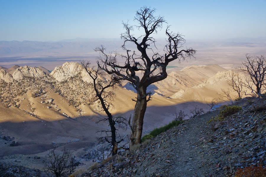
A small patch of old growth pines in between exposed and burned sections

Above Tehachapi

From Cottonwood Pass to Walker Pass & Remington Hot Springs

After leaving the crew of brothers and friends behind, the PCT south of Mt. Whitney became sandy, waterless and almost devoid of other humans.  Almost all water sources were dried up.  I started leaving the trail to look for springs that were flowing earlier in the summer but had dried up in late August.  For the rest of my hike to Mexico, finding water to drink would be a major focus of my trip.

Colorful moss on rocks near Death Canyon Creek
After leaving the JMT section, the PCT also became more difficult to follow: confusing junctions with cow paths and broken trail signs laying on the ground.  I was glad that I had Half Mile's app to keep me on the trail.  Sagebrush in the day and coyote yelps at night became ubiquitous.  Although I was hiking on Labor Day, I saw 0 humans, 0 hikers. No weekend warriors chose to hike the section north of Kennedy Meadows for fun - at least not in the heat of early September.
Spring/trough near Beck Meadow

This is the South Fork of the Kern River near Kennedy Meadows...completely dried up.  In Yogi's guide, she says it's a great place to swim, but there was no water.

Tracks in the dry riverbed: evidence of California's drought.  In the High Sierras the water was so plentiful, but as soon as I entered the Southern Sierras, the landscape dried up.  I walked through the so-called Golden Trout Wilderness, but I don't know where there would be trout since there was hardly any flowing surface water.  I carried 6 liters of water leaving Kennedy Meadows.


I started figuring out that I needed to wake up super early, take a long rest in the middle of the day and hike at night to avoid the incredibly strong heat of midday. One day at a time. 

There was always beautiful sunsets and sunrises in the desert.


Looking east towards the desert

And the landscape started filling up with yucca, cacti and joshua trees.


Nearing Walker Pass

From Walker Pass, I was lucky enough to catch a Kern County bus at daybreak to travel 37 miles west to Lake Isabella for a resupply.  The bus only goes through 9 times a week and I got to the highway about 7 minutes before it came up to Walker Pass.  I then went further west (about 8 miles mostly on foot) to relax at Remington Hot Springs, where the Kern River was, thankfully, flowing strong.  The hot springs were hopping for the weekend and I met lots of wonderful and generous people.
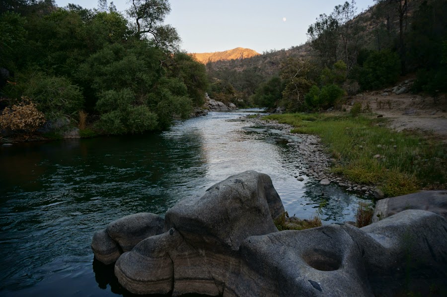
Remington Hot Springs

Mt. Whitney at Sunrise

The first rays of morning light hit the High Sierras.   We woke up in the middle of the night at Guitar Lake and packed up to hike the last miles up to Mt. Whitney for sunrise.  When we looked up the trail in the darkness, we could see dots of headlamps snaking their way up the mountain and strings of headlamps could be seen below us too.  We weren't alone in our quest for the sunrise on Whitney.


"Day 17, 2:30AM, alarm sounds, headlamps on, camp wrapped up, and on our way following the line of lights zig zagged up the canyon walls into the darkness, where hiker lights and stars merged into confusion. Dropped bags at Trail Crest 13,650 ft., when black sky turned to dark blue. Scampered on rocks along the ridge passing window crevices between the jagged rocks, looking out east to the neon lines on the horizon. Just two miles but almost a lifetime as we made our way up to the icy cold of Mt. Whitney. Standing on the cliffs edge, looking out in all directions on top of the world as the sun's first rays graced the earth. Underdressed and light headed, soon ready to get down to normalcy even with the brief comfort of pushups and Whitney hut." - Taun Taun

Wondrous Beauty


J Bear, hands in pockets, nearing the top

All of us on top of Mt. Whitney, the highest summit in the contiguous United States at 14,505 feet high


Hugs all around...


Going up to Mt. Whitney was a glorious climax to the John Muir Trail section of the PCT.  Strolling up Whitney was probably the highlight of all my backpacking trips.  And being able to share the epic experience of going that high and walking through such magnificent rocks with such dramatic views with my brothers and friends was an amazing blessing.

The Trail Crest junction below the summit

"Rich ripped his shirt off. Brujo and Khaas celebrated. I popped round pills wishing myself grace through 8 final miles of sweet, sweet pain. Smiles graced our faces as we whipped by the miserable folks hiking up 6,000 feet to Whitney. Looking down on the Alabama Hills the way the Hebrews looked down on Canaan when coming from 40 years of desert. Climbed a gorgeous valley down to Whitney Portal beers and burgers. Climbed the peaks of awareness of the natural world. Climbed up the heights of pain and human strength. Climbed 205 miles and 8 mountain passes over 17 days. Cuz what else are we gonna do, but keep on climbing." 
- Taun Taun